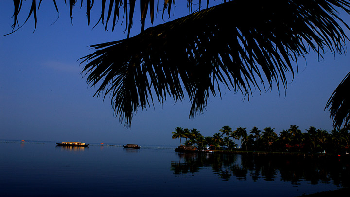
Vembanad (Vembanad Kayal or Vembanad Kol) is the longest lake in India,and the largest lake in the state of Kerala. It is also counted as one of the largest lakes in India. Spanning several districts in the state of Kerala, it is known as Punnamada Lake in Kuttanad, Kochi Lake in Kochi. Several groups of small islands including Vypin, Mulavukad, Vallarpadam, Willingdon Island are located in the Kochi Lake portion. Kochi Port is built around the Willingdon Island, and the Vallarpadam island.

The Nehru Trophy Boat Race is conducted in a portion of the lake. High levels of pollution have been noticed at certain hotspots of the Vembanad backwaters. Government of India has identified the Vembanad wetland under National Wetlands Conservation Programme.
Area: 2,033 km²
Surface elevation: 0 cm
Length: 96.5 km
Width: 14 km
Islands: Pathiramanal, Perumbalam, Pallippuram
Inflow source: Pamba River, Periyar, Achankovil, Manimala River, Muvattupuzha


Geography and hydrography:
Location in Kerala:
The Vembanad wetland system covers an area of over 2033.02 km² thereby making it the largest wetland system in India. Of this, an area of 398.12 km² is located below the MSL and a total of 763.23 km² area is located below 1 m MSL. The lake is bordered by Alappuzha, Kottayam, and Ernakulam districts. It is situated at the sea level, and is separated from the Arabian Sea by a narrow barrier island. Canals link the lake to other coastal lakes in the north and south. The lake surrounds the islands of Pathiramanal, Perumbalam and Pallippuram. The Vembanad Lake is approximately 14 kilometres wide at its widest point. The lake is a part of Vembanad-Kol wetland system which extends from Alappuzha in the south to Azheekkode in the north, making it by far, India's longest lake at just over 96.5 km in length. The lake is fed by 10 rivers flowing into it including the six major rivers of central Kerala namely the Achenkovil, Manimala, Meenachil, Muvattupuzha, Pamba and Periyar. The total area drained by the lake is 15,770 km², which accounts for 40% of the area of Kerala. Its annual surface runoff of 21,900 Mm accounts for almost 30% of the total surface water resource of the state.